
Aerial Mapping Construction Sites
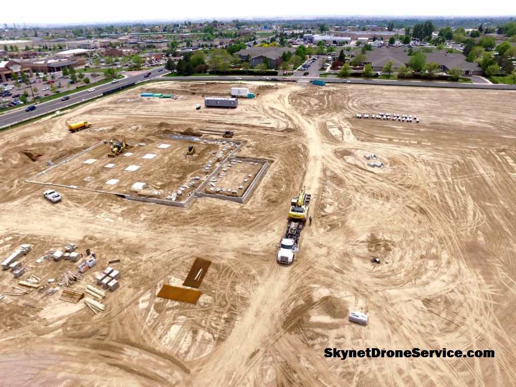
Aerial mapping construction sites can save construction companies millions of dollars per project, depending on the size of the project.
With aerial mapping software and a drone operated by a certified and licensed drone pilot, drone data capture missions can take companies into the next century of industrial growth.
Can you tell we’re excited? Aerial Mapping is the future here and now. The future being: construction sites with lower accident rates; cost-effective increases; savings of time; happier employees and stakeholders. Productivity goes up and accidents go down.
How is this achieved? By using drones to gather the data, project managers can cut out the guesswork they’ve been doing for decades.
Aerial Mapping Construction Sites for Greeley, Fort Collins, Windsor, Denver, Broomfield, Longmont, Colorado Springs, Colorado; Wyoming; Texas and across the U.S. and Canada – Skynet Drone Services serves the construction industry, agriculture and energy, oil and gas and many more industries.